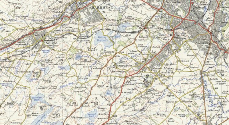
Historically, East Renfrewshire formed part of the larger Renfrewshire county. In the 1970s, most of the area broke away to become a new council district called Eastwood. The area was later renamed East Renfrewshire after gaining a part of Renfrew District (namely Barrhead) in 1996. Neighboured by the City of Glasgow to the northeast and […]
Month: November 2020

Reading list: In reflection of Black History Month
In reflection of US Black History Month, the cohort of interns here at the National Library of Scotland have curated a reading list of titles from the Library’s ever-expanding print and digital collections relating to Black history. Our internships are as follows: Access and Outreach Equalities, Diversity and Inclusion Climate Crisis Gaelic Translation Rights and Personalisation Creating Media Content This small selection of material comes from a larger pool of […]
Zoom into Stirling
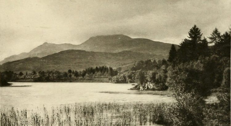
Collated by Jamie McIntosh. The Stirling authority area is at the heart of Scotland and spans the traditional boundary between the lowlands and highlands. To the west of the region sit the Campsie Fells and the Fintry Hills, which eventually give way to Loch Lomond. The boundary of the authority runs up the east side of the loch, taking in the Trossachs and Ben Lomond. The northern area of the authority is generally […]