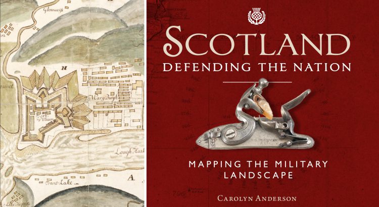
Some of the most detailed and alarming military maps of Scotland were made by external aggressors, planning attack or invasion. Here we look at maps made by four of these countries: French charts, 1800s In the early 18th century, when Napoleonic France made preparations for an invasion of Great Britain, the best available charts of […]
Author: Chris Fleet

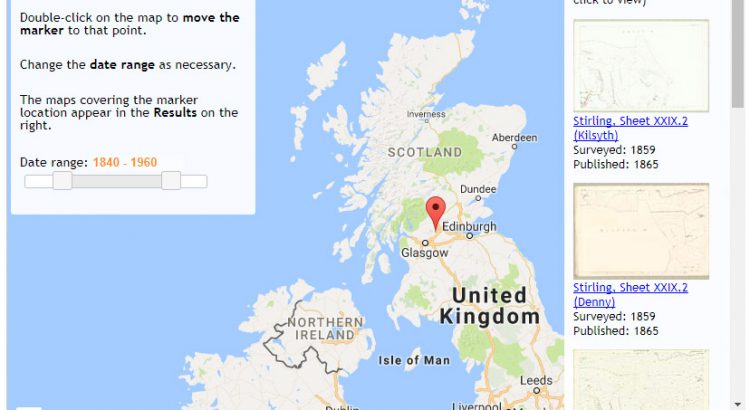
Using the Library’s open-source map viewers
Are you interested in creating a web-mapping viewer or application? Do any of the Library’s web-mapping applications have functions or interfaces you need? If the answer to these questions is yes, then you may be interested to know that the code behind all of our web-mapping applications is available for free and easy onward use […]

Mapping Slavery
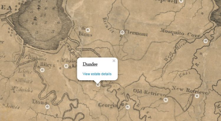
It shocks many people to learn that when in 1833, the British Parliament finally abolished slavery in various parts of the British Empire, those most closely involved in the trade received huge sums of money in compensation. It has been estimated that of the £20 million compensation payments, half remained in Great Britain, with the […]
