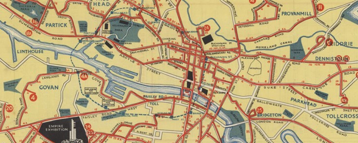
Collated by Jamie McIntosh. The final local authority area of our current Zoom Into series takes us to Glasgow, Scotland’s most populous city. Glasgow is situated in the west of the central belt area of the lowlands, and its city centre is dominated by the River Clyde. Glasgow’s position provides easy access to the greenery of the Loch […]
Tag: local history
Zoom into Fife
Collated by Peter Findlay. Aince a muckle pairt o Scotland’s industrial hertlaund, I recently heard “Fife” cried, “Scotland’s enchanting kingdom.” Ye micht be gast frae this nameliheid, hooiver, juist hae anither keek at this region afore makin judgement. For at truly is a pairt o oor country, whaur baith Fifers and veesitors alike, can gang on a byous an timeless journey o discovery. Believe me, […]
Zoom into North Lanarkshire
Collated by Charlotte James Robertson.North Lanarkshire borders the northeast of the City of Glasgow and contains many of Glasgow’s commuter towns. The South of the county has its roots in the historic county of Lanarkshire, which has existed since the time of King David I, ruler of Scotland from 1124 to 1153. In the 18th […]
Zoom into South Lanarkshire
The former county of Lanarkshire was covered by North Lanarkshire, South Lanarkshire and Glasgow. The county has historically also been called Clydesdale after the River Clyde. In 1975, South Lanarkshire separated, and currently borders the City of Glasgow, North Lanarkshire, Dumfries and Galloway, East Ayrshire, East Renfrewshire, the Scottish Borders and West Lothian. The larger […]
Zoom into Aberdeenshire
Collated by Alison Leslie. Modern Aberdeenshire encompasses historic Aberdeenshire, Kincardineshire and part of Banffshire. To the south it borders Angus and Perth & Kinross, to the west Highland and Moray, and to the east Aberdeen City.
Zoom into Highland
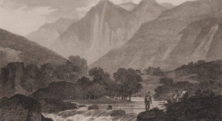
Collated by Lucy Church. The Highland Council unitary authority is the largest by area in the UK, covering a third of Scotland’s land area, and 11% of the UK’s. Although it is the 7th largest council in Scotland by population, it has the lowest population density in the country. Its administrative centre is Inverness, but there […]
Zoom into West Lothian
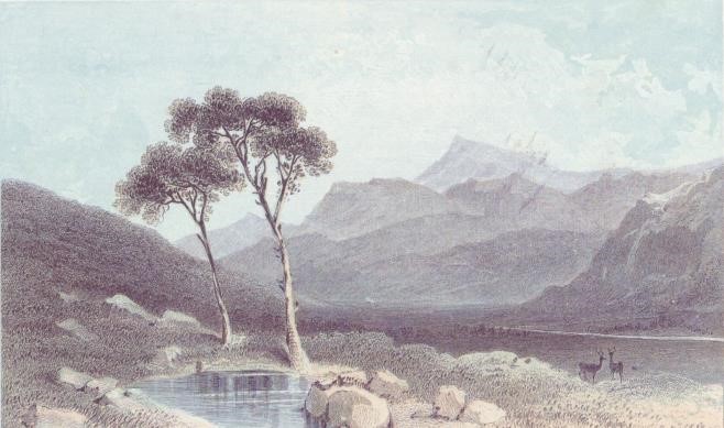
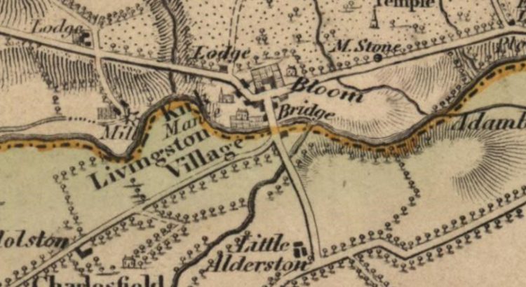
Collated by Charlotte James Robertson. West Lothian is one of Scotland’s thirty-two unitary authorities; it is also one of the historic counties. It lies on the southern shore of the Firth of Forth and is predominantly rural, though there were extensive coal, iron, and shale oil mining operations in the 19th and 20th centuries. The old county town […]
Zoom into Renfrewshire
Collated by Jamie McIntosh. The council area of Renfrewshire sits to the south of the River Clyde and is bounded by five other local councils within the central south-west region of Scotland. First emerging as a county in the early 15th century through a land grant by King Robert III, it would then go on to take the form of the historic County of […]
Zoom into Falkirk
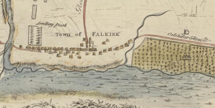
Collated by Moray Teale. The Falkirk council area was formed in 1996 when the Central Region was divided into several parts. Falkirk boasts many varied attractions from the ruins of the Antonine Wall, Callendar House and Blackness Castle to the engineering feats of the Forth and Clyde Canal and the Falkirk Wheel. More recently it has become famous for the […]
Zoom into Perth and Kinross
The county of Perth, formerly known as Perthshire, sits at the heart of Scotland, and its vast geographic size has seen it called ‘the big county.’ It existed as an administrative county from 1890 until 1930, when it was linked with Kinross-shire which, in direct contrast to its neighbour, is one of Scotland’s smallest counties. The county town is Perth, and a large number […]