Whether you are scholar, learner, or just a little curious – the virtual reading room allows you to immerse yourself in the Library’s collections anywhere. We have added quotes from readers throughout this blog. “Great opportunity for people who cannot visit the library…“ Our new virtual reading room allows you to explore our collections without […]
Author: Louise Speller
Zoom into South Lanarkshire
The former county of Lanarkshire was covered by North Lanarkshire, South Lanarkshire and Glasgow. The county has historically also been called Clydesdale after the River Clyde. In 1975, South Lanarkshire separated, and currently borders the City of Glasgow, North Lanarkshire, Dumfries and Galloway, East Ayrshire, East Renfrewshire, the Scottish Borders and West Lothian. The larger […]
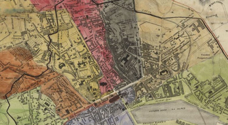
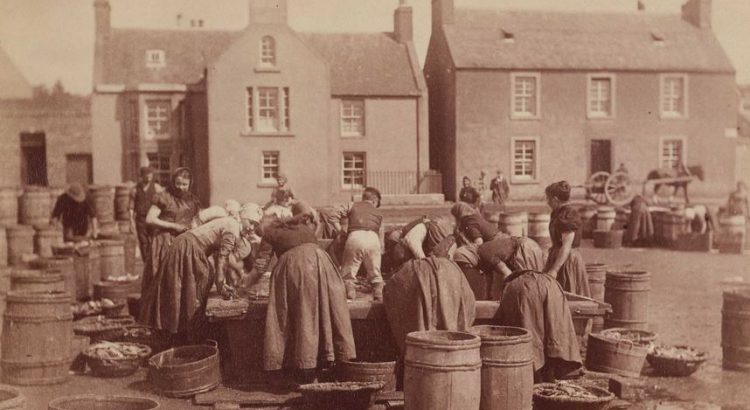
Zoom into Aberdeen City
Aberdeen City sits on the north-east coast of Scotland, north of the River Dee and south of the River Don. Aberdeen is often referred to the Granite or Silver City as the buildings were built with granite that has a high mica content (mica is a natural mineral that is typically very shiny or shimmery). […]
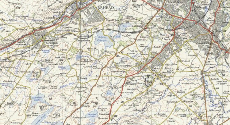
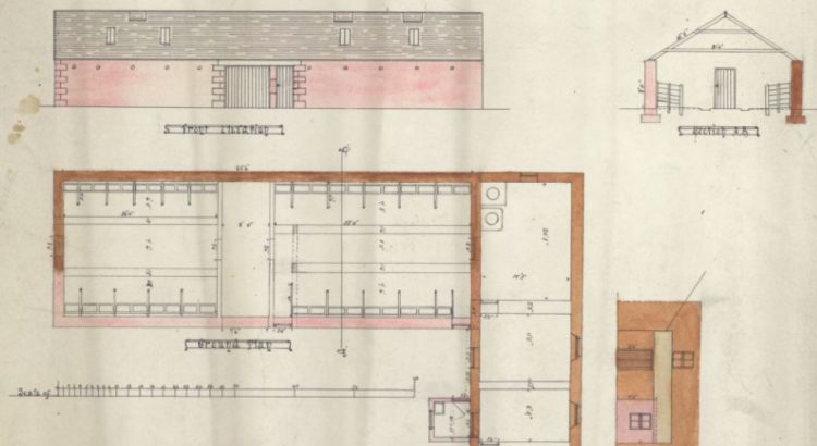
Zoom into East Renfrewshire
Historically, East Renfrewshire formed part of the larger Renfrewshire county. In the 1970s, most of the area broke away to become a new council district called Eastwood. The area was later renamed East Renfrewshire after gaining a part of Renfrew District (namely Barrhead) in 1996. Neighboured by the City of Glasgow to the northeast and […]
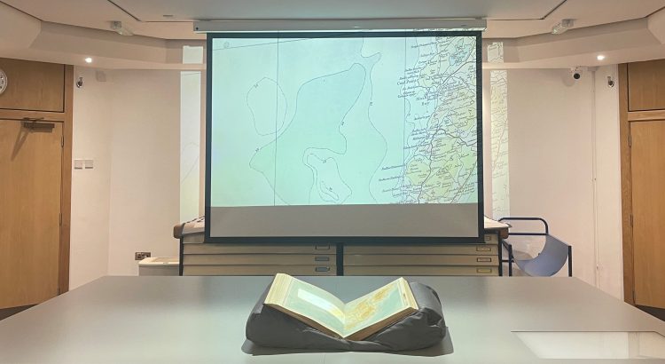
Zoom into Na h-Eileanan Siar
Time to step into the rich history and culture of Na h-Eileanan Siar (Western Isles or Outer Hebrides). Na h-Eileanan Siar is an island chain off the west coast of Scotland. The inhabited islands of the Western Isles include: Lewis and Harris, South Uist, North Uist, Benbecula, Barra, Great Bernera, Berneray, Vatersay, Baleshare, North Grimsay, […]
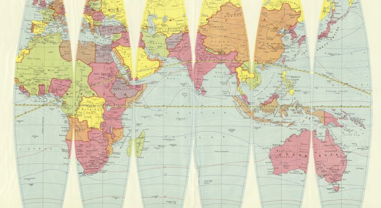
Mapping Around: Introducing Denoyer-Geppert’s Globe Gores
Examine a terrestrial globe and what do you see? A fascinating model of how we view the world? A historical snapshot of the various landmasses and water features we have encountered? Or are globes a political narrative reflecting the creator’s point of view?