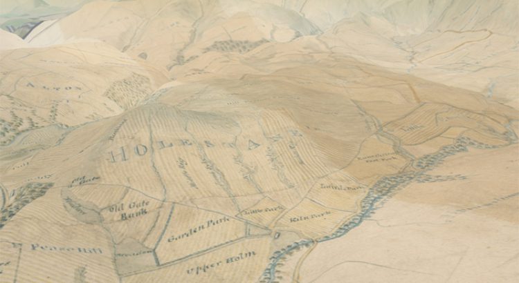
In early 2016 we launched our 3D map viewer, allowing our georeferenced maps to be viewed from a bird’s-eye perspective. This combines our historic map layers with elevation data, so that they can be draped and visualised across a real landscape in three dimensions. Whilst the viewer has been popular, we have recently added a […]
Category: 18th-century items

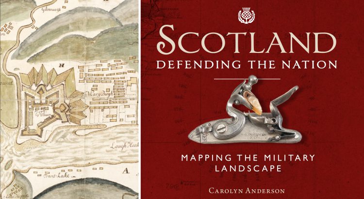
Scotland: Defending the Nation – Mapping the Military Landscape
Some of the most detailed and alarming military maps of Scotland were made by external aggressors, planning attack or invasion. Here we look at maps made by four of these countries: French charts, 1800s In the early 18th century, when Napoleonic France made preparations for an invasion of Great Britain, the best available charts of […]

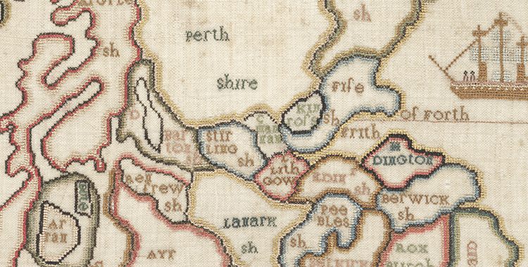
March’s Map of the Month: A map of Scotland. [Stitched by] Margaret Montgomery, circa 1800.
March is Women’s History Month and, in keeping with this theme, our Map of the Month is a map of Scotland, embroidered by a young girl over 200 years ago.
