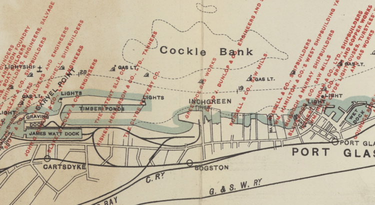
Part of the historic county of Renfrewshire, Inverclyde is situated in the crook of the upper Firth of Clyde as it bends east toward Glasgow. Its largest towns, Greenock and Port Glasgow, were historic centres of shipbuilding. From the eighteenth century they were key ports for the British trade in goods from overseas, including commodities, […]
Category: 20th-century items
Curators’ Favourites: James Leslie Mitchell’s Spartacus
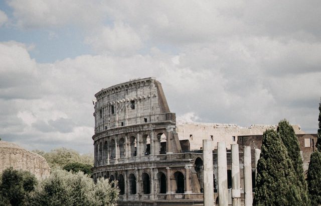
Photograph by Zach Dyson. The choice: James Leslie Mitchell, Spartacus (London, 1933) Chosen by: Ian Scott, Curator in General Collections Read or download this book from the Lewis Grassic Gibbon page on our digital gallery http://digital.nls.uk/lewis-grassic-gibbon-books/archive/205174226 where you will find this novel alongside the other books James Leslie Mitchell published during his lifetime both under […]
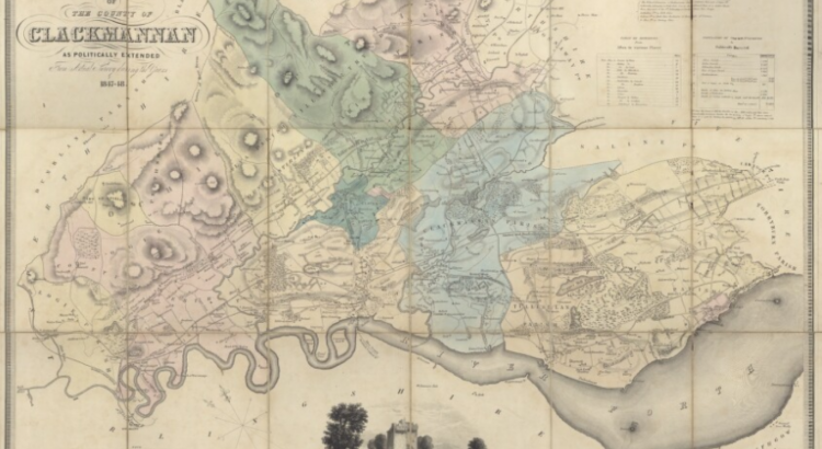
Zoom into Clackmannanshire
Collated by Charlotte James Robertson. This time in our ‘Zoom into…’ series the spotlight is on Clackmannanshire. Affectionately known as ‘The Wee County’ it is mainland Scotland’s smallest council area by population. Clackmannanshire borders the council areas of Stirling, Fife, and Perth & Kinross. The town of Clackmannan was the county town up until 1822 when Alloa became the main administrative centre. […]
Curators’ Favourites: Alasdair Alpin MacGregor, The Peat Fire Flame
The choice: The Peat Fire Flame Chosen by: Paula Williams, Curator, Maps, Mountaineering & Polar Collections Read or download this book from our Digital Gallery. Welcome to the latest of our fortnightly series introducing some favourites from our collections for you to enjoy reading, all freely available online. The Peat Fire Flame is a collection of folk-tales from the Highlands and […]
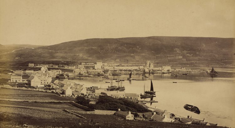
Zoom into the Shetland Islands
Collated by Veronica Bell. The Shetland Islands are the most northerly part of the British Isles, lying in the North Atlantic between the British mainland, the Faroe Islands and Norway. The main town, Lerwick, lies only six degrees of latitude from the Arctic Circle.
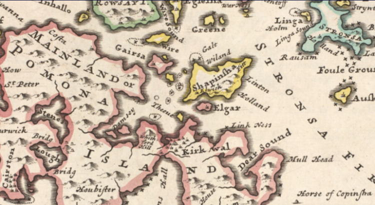
Zoom into the Orkney Islands
Collated by Alison Leslie. Orkney, or the Orkney Islands, is a group of 70 islands off the north coast of Scotland. They became part of Scotland in 1469 in lieu of an unpaid dowry from Norway. Today Orkney is best known for its historic sites, the dive sites around the scuttled World War One German fleet, its birdlife, its food and drink, and the North Ronaldsay sheep […]
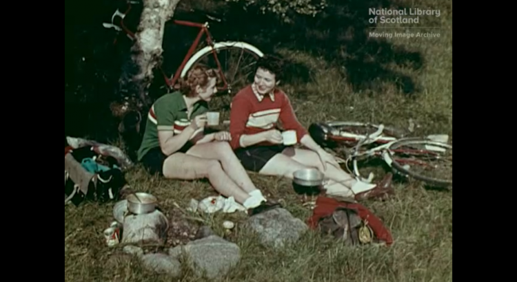
Cine Cycles – women, bicycles and a sense of freedom
Dr Emily Munro, National Library of Scotland Moving Image Archive Watch our Cine Cycle video The bicycle has always been a symbol of mobility and freedom but today it is seeing a resurgence in popularity in Scotland. Partly due to concerns around sustainable, carbon-neutral transport, and aided by gradual improvements in cycling infrastructure, increasing numbers […]
Curators’ Favourites: J. Leslie Mitchell’s The Thirteenth Disciple
The choice: J. Leslie Mitchell, The Thirteenth Disciple: Being Portrait and Saga of Malcom Maudsley in His Adventure Through the Dark Corridor. (London, 1931). Chosen by: Ian Scott, Curator in General Collections Read or download this book from the Lewis Grassic Gibbon page on our digital gallery http://digital.nls.uk/lewis-grassic-gibbon-books/archive/205174226 where you will find this novel alongside […]
Curators’ Favourites: Catherine Carswell’s The Camomile
The choice: Catherine Carswell, The Camomile: An Invention (London, 1922). Chosen by: Helen Vincent, Head of Rare Books, Maps and Music Read or download this book from our Digital Gallery. Welcome to this first of a new fortnightly series where we introduce you to some favourites from our collections for you to enjoy reading, all […]
Lewis Grassic Gibbon: the road to Sunset Song
In August 1932 a new Scottish literary star was born when the novel “Sunset Song” by Lewis Grassic Gibbon was published. An instant critical and commercial success it was reprinted multiple times that year in the UK as well as being published in North America and quickly translated into other European languages. Gibbon’s novel tells […]
