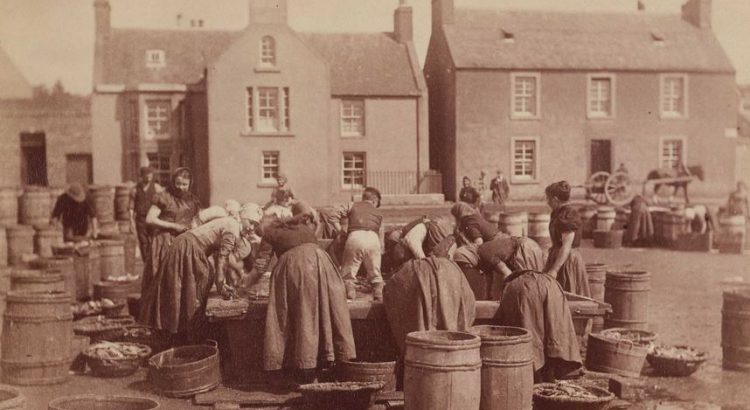
Collated by Moray Teale. Moray is situated in the north-east of Scotland and borders the Aberdeenshire and Highland council areas. Until 1996 Moray was also part of the Grampian Region. Moray has a varied landscape from the Moray Firth and largely flat coastline, to the hilly interior and several lochs. The River Spey runs through much of the area, which is famous for its whiskies and contains more […]
Category: Illustrations and photographs

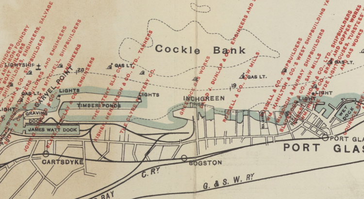
Zoom into Inverclyde
Part of the historic county of Renfrewshire, Inverclyde is situated in the crook of the upper Firth of Clyde as it bends east toward Glasgow. Its largest towns, Greenock and Port Glasgow, were historic centres of shipbuilding. From the eighteenth century they were key ports for the British trade in goods from overseas, including commodities, […]

Zoom into Na h-Eileanan Siar
Time to step into the rich history and culture of Na h-Eileanan Siar (Western Isles or Outer Hebrides). Na h-Eileanan Siar is an island chain off the west coast of Scotland. The inhabited islands of the Western Isles include: Lewis and Harris, South Uist, North Uist, Benbecula, Barra, Great Bernera, Berneray, Vatersay, Baleshare, North Grimsay, […]

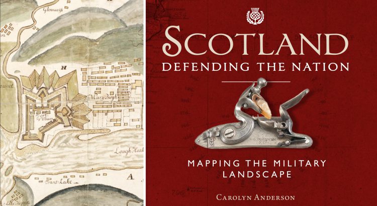
Scotland: Defending the Nation – Mapping the Military Landscape
Some of the most detailed and alarming military maps of Scotland were made by external aggressors, planning attack or invasion. Here we look at maps made by four of these countries: French charts, 1800s In the early 18th century, when Napoleonic France made preparations for an invasion of Great Britain, the best available charts of […]

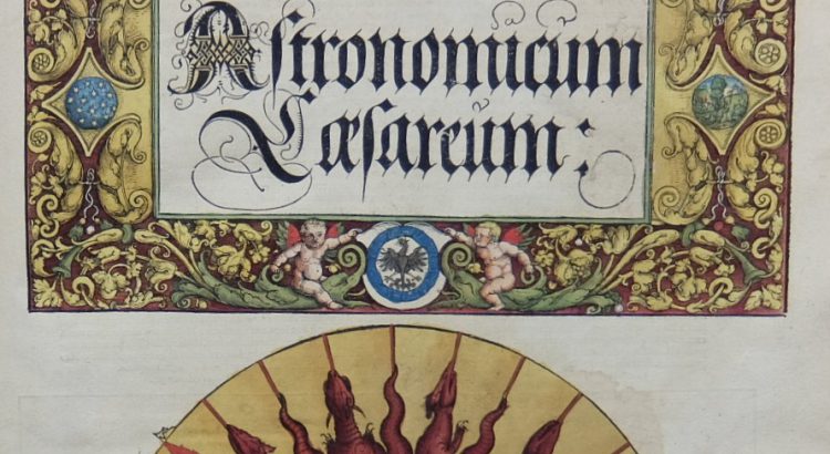
Astronomicum Caesareum
Peter Apian’s Astronomicum Caesareum (Ingolstadt, 1540) is one of the finest printed books in the National Library of Scotland, hand coloured throughout and featuring ingenious and beautiful volvelles. Apian, humanist mathematician and astronomer and born Bienewitz in Leisnig, Saxony (Biene is German for bee, hence the Latinizing of his name to Apian), was the son […]
