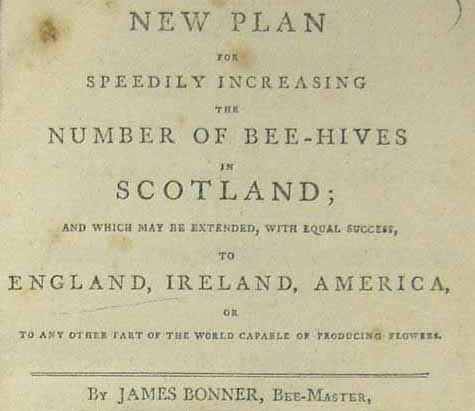
In anticipation of Spring’s arrival I’ve recently been doing a little gardening to prepare plants, trees and soil for the coming warmer weather and its promise of rebirth after the dreich Scottish winter. The returning of birdsong and the anticipation of flowers and green leaves made me consider the importance of bees to the wellbeing […]
Women’s History Month Reading List
This blog post focuses on a selection of contemporary women writers in Scotland and their contribution to Scottish literature, society and history. Note: The links included in this blog are to the catalogue record for the books in the Library. Leila Aboulela is an Aberdeen-based playwright and poet. Leila Aboulela was born in Cairo, grew up in Khartoum and moved in her mid-twenties to Scotland. Leila’s work […]
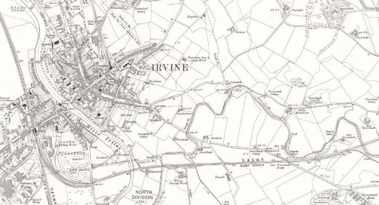
Zoom Into North Ayrshire
Collated by Emma Boyd North Ayrshire is a council area in the south-west of Scotland. Set along the coast of the Firth of Clyde and with a population of over 135,000 at the last census; it is the most populous of the three Ayrshire regions. The area was formed in 1996 from the former Cunninghame district, and includes the Isle of […]
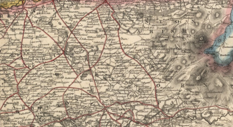
Zoom Into East Ayrshire
Collated by Emma Boyd East Ayrshire is a largely rural council area in the south-west of the country with a population of over 122,000 at the last census. The area was formed in 1996, from the former Kilmarnock and Loudoun, and Cumnock and Doon Valley districts; and the majority of people live in or around […]

Exploring climate change, environmental damage and race.
Through newspaper and journal articles accessed via Ethnic NewsWatch, this blog post by our Climate Crisis Intern explores the relationship between climate change, environmental damage, and race. “Global climate change is experienced very differently across race, gender, class and nationality.” So begins a 2012 article from Race, Gender & Class, a journal available on Ethnic […]
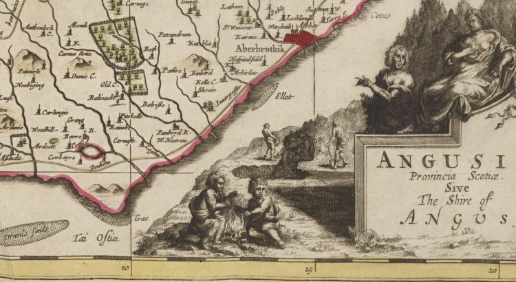
Zoom Into Angus
The Modern-day council area of Angus traces its name to an eighth century Pictish king, Óengus son of Fergus (ruled 732-761). Óengus (Angus) hailed from Circinn, one of the four principal Pictish kingdoms roughly coextensive with the modern county of Angus. The signing of the Declaration of Arbroath at Arbroath Abbey in 1320 marked Scotland’s establishment as an independent nation, and so Angus has become known as the birthplace of […]
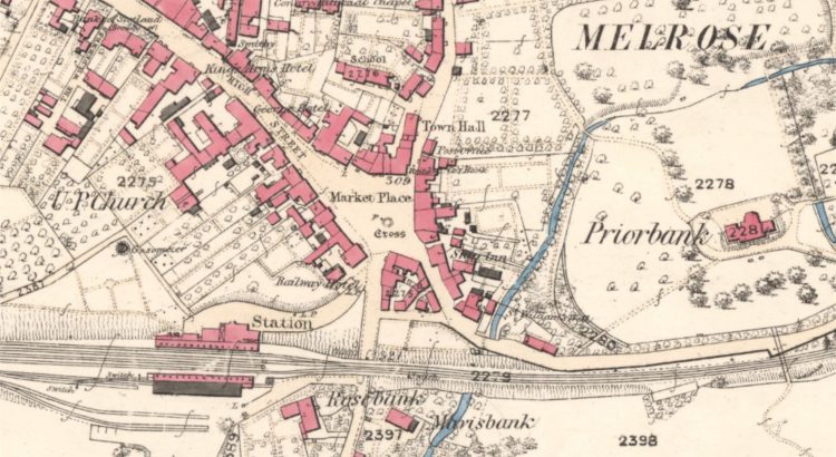
Zoom into the Scottish Borders
Collated by Charlotte James Robertson. The Scottish Borders, which are sometimes simply called The Borders, stretch from the Pentland Hills, which mark their boundary with the Lothians, to the River Tweed at the border with England. As an area of exceptional beauty the Scottish Borders have inspired writers like Sir Walter Scott and John Buchan. They are also home to several […]
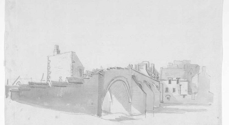
Zoom into South Ayrshire
Collated by Elaine Brown South Ayrshire came into existence as a unitary authority in 1996 and comprises the south western corner of the historical county of Ayrshire. It ranges from built-up in the north, where it is home to Glasgow International Airport at Prestwick, to rich agricultural land in the south. Where to find local collections: Scottish […]
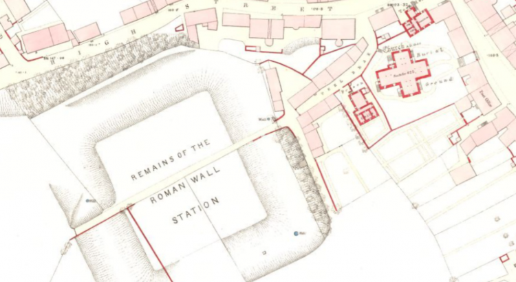
Zoom into East Dunbartonshire
Collated by Veronica Bell. East Dunbartonshire was formed in 1996, from the former Bearsden and Milngavie district, and most of the former Strathkelvin district. Situated to the north of Glasgow, it contains many of the city’s suburbs and commuter towns. Its county town of Kirkintilloch has a rich industrial heritage, partly due to its rail links and […]
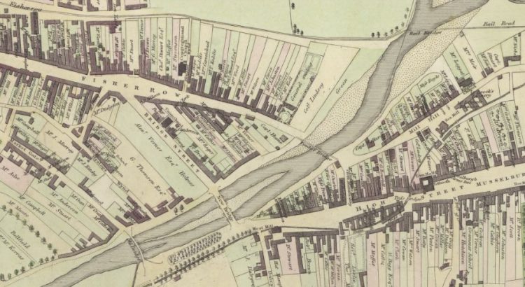
Zoom Into East Lothian
East Lothian, known as Haddingtonshire until 1921, sits to the east of Edinburgh. Local Government Reorganisation in 1975 saw it gain the coastal burgh of Musselburgh from neighbouring Midlothian. That town is now the largest in the county, closely followed by Dunbar and its county town of Haddington. Its situation between Edinburgh and England has seen it witness some of Scotland’s most […]
